

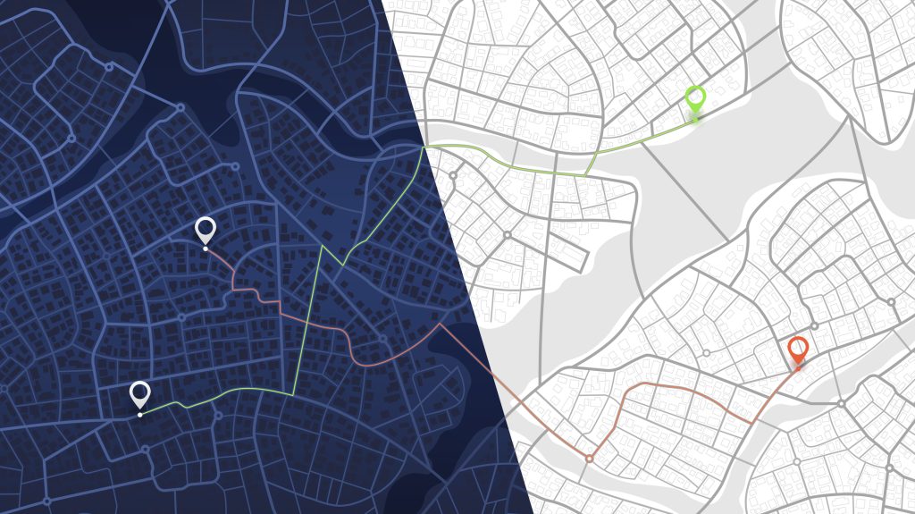
Every organisation, whether managing homes, hospitals, or highways, depends on location. Where things happen shapes why they happen and what we should do next.
Yet, many teams still treat geospatial data as a specialist discipline locked inside GIS (Geographic Information Systems) tools, accessible to only a few experts This creates silos and delays, when in reality, location is everyone’s business.
It’s time to bring geospatial intelligence out of the GIS corner and into the Databricks Lakehouse, governed, scalable, and available to every data-driven team.
With Spatial SQL, Lakeflow, and Unity Catalog, organisations can now turn coordinates into context and context into action, moving beyond static maps to living, real-time insights that evolve with the world.